scikit-eo
scikit-eo: A focused, free Python toolkit for scripted raster and Earth-observation analysis. Ranked #44 of 64 in GIS Software by our editors (4.8/10); pricing: Free plan; best for python users processing and classifying satellite imagery.
At a glance
- Editor score4.8 / 10
- PricingFree plan
- Best forPython users processing and classifying satellite imagery
- Free planYes
- Paid fromFree
- Spatial analysisAdvanced
- Facts checked24 Sep 2026
Where it wins
- Open-source and free for local, self-hosted use
- Covers raster processing, spectral indices and image transformations
- Supports scripted classification and machine-learning workflows
Where it doesn't
- Requires a Python environment rather than a graphical GIS interface
- Does not provide web mapping or dashboard-building tools
- No mobile apps; ecosystem support is limited to docs and community
Our verdict on scikit-eo
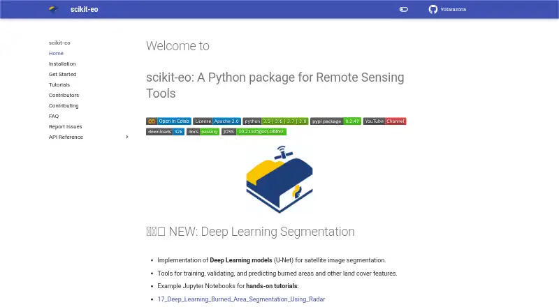
scikit-eo is an open-source Python package for Earth-observation and remote-sensing workflows. It is aimed at researchers, geospatial analysts and developers who need scripted, reproducible processing of raster imagery rather than a graphical GIS application. The package runs locally in a Python environment and supports Windows, macOS and Linux, making it a fit for solo practitioners and small teams managing their own analysis setup.
Its strongest focus is remote-sensing analysis. Reusable functions cover raster and Earth-observation image processing, spectral-index calculations, principal-component and other image transformations, and classification workflows. Machine-learning analysis of geospatial imagery extends the toolkit beyond basic raster preparation, while the scriptable API supports repeatable pipelines that can be maintained in code. The open-source, free model suits users who want these capabilities without a commercial plan structure.
The trade-off is scope. scikit-eo is deployed as a self-hosted desktop package, so setup involves installing and running it inside a Python environment rather than configuring a hosted workspace. Documentation and community channels provide the listed support path. There is no web mapping, dashboard builder or mobile app, which limits its role as a general-purpose GIS or presentation platform. Choose scikit-eo for code-driven Earth-observation processing and classification; choose another GIS product when browser mapping, dashboards or mobile access are central requirements.
Your product? Our editors can test scikit-eo in depth and publish a review, labelled as paid · from $149/mo →
scikit-eo pricing
scikit-eo fact sheet
| Free plan | Yes |
|---|---|
| Paid from | Free |
| Deployment | Desktop |
| Spatial analysis | Advanced |
| Web mapping | No |
| Dashboard builder | No |
| Raster data support | Yes |
| Mobile apps | No |
| Deployment | Self-hosted |
| Platforms | Windows, macOS, Linux |
| Support | Docs, Community |
| Built for | Solo, Small business (editorial estimate) |
| Pricing | Free plan |
| Website | yotarazona.github.io |
| Facts checked | 24 Sep 2026 |
Alternatives to scikit-eo
- QGISA broad, no-cost GIS for advanced analysis, editing, mapping, and publishing.9.4
- GRASS GISA deep analytical GIS for technical teams that value open-source and scripted workflows.9.2
- Google Earth EngineA specialized GIS platform for large-scale satellite imagery, raster analysis, and geospatial computation.9.1



See all scikit-eo alternatives →
Used scikit-eo? Be the first to review it
The editor score above is our own research. What this page doesn't have yet is a reader's view — what you used scikit-eo for, what worked and what didn't. No stars are seeded and no review is paid for; an editor reads every one before it appears.
Write a reviewTwo minutes · verified accounts only · read by an editor before it appears
Featured on iTechGuides

scikit-eo is listed in our GIS Software directory. Add the badge to your site — it links back to this page.
<a href="https://www.itechguides.com/products/scikit-eo/"><img src="https://www.itechguides.com/best/badge/scikit-eo.svg" alt="Featured on iTechGuides" width="230" height="46"></a>
Reviewed by iTechGuides Editors · Editorial team · Updated Oct 2026
Advertiser disclosure: iTechGuides is reader-supported. Vendors can pay for top positions in our rankings and for a place on other products' pages, and we may earn a commission when you click some links. Bought places stand at the number bought; this page and our disclosure say so. Paying vendors may get a fuller, more detailed review from our editors, and that review can change their score. How we rank.
Last updated · How we research and update