earthpy
earthpy: A free Earth-science Python library for raster analysis, plotting and geospatial I/O. Ranked #53 of 64 in GIS Software by our editors (3.9/10); pricing: Free plan; best for python raster and earth-science workflows.
At a glance
- Editor score3.9 / 10
- PricingFree plan
- Best forPython raster and earth-science workflows
- Free planYes
- Paid fromFree
- Spatial analysisBasic
- Facts checked24 Sep 2026
Where it wins
- Free open-source package distributed through pip and conda
- Raster masking, cropping, stacking and reprojection utilities
- Terrain calculations, plotting helpers and sample datasets
Where it doesn't
- Basic spatial analysis rather than a broad GIS suite
- No web mapping or dashboard builder
- Requires Python environments and broader geospatial tools
Our verdict on earthpy
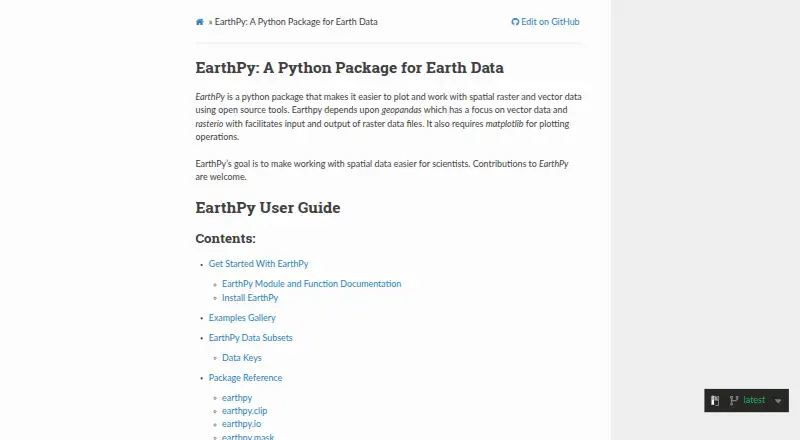
EarthPy is an open-source Python package for earth-science and geospatial workflows. It suits researchers, analysts and developers working in scripts, notebooks or other scientific Python environments. The package focuses on reading, organizing, masking, stacking, reprojecting and analyzing raster data, while also providing plotting helpers, geospatial input/output utilities and example datasets. It runs on Windows, macOS and Linux through self-hosted or desktop Python setups.
The published distribution model is straightforward: EarthPy is free and open source, with installation available through pip or conda rather than paid plan tiers. That makes it accessible for solo users through enterprise teams that already maintain Python environments. Its practical value comes from the collection of raster operations in one package, including masking and cropping, stacking, reprojection and terrain calculations. Plotting functions and sample earth-science datasets can support learning and early workflow development, while the package’s file-handling helpers connect it to the wider geospatial Python ecosystem.
EarthPy is a focused supporting library, not a standalone GIS desktop application. Spatial analysis is basic, and there is no web mapping or dashboard builder, so teams needing interactive publishing, visual application assembly or a broader GIS workspace should choose a more comprehensive alternative. Documentation is the listed support channel, placing responsibility for setup and troubleshooting on the user’s Python workflow. Choose EarthPy when raster-oriented analysis, reproducible notebooks or scripts are the priority; avoid it as the primary tool for web-based mapping or end-to-end GIS operations.
Your product? Our editors can test earthpy in depth and publish a review, labelled as paid · from $149/mo →
earthpy pricing
earthpy fact sheet
| Free plan | Yes |
|---|---|
| Paid from | Free |
| Deployment | Desktop |
| Spatial analysis | Basic |
| Web mapping | No |
| Dashboard builder | No |
| Raster data support | Yes |
| Mobile apps | No |
| Deployment | Self-hosted, Desktop |
| Platforms | Windows, macOS, Linux |
| Support | Docs |
| Built for | Solo, Small business, Mid-market, Enterprise (editorial estimate) |
| Pricing | Free plan |
| Website | earthpy.readthedocs.io |
| Facts checked | 24 Sep 2026 |
Alternatives to earthpy
- QGISA broad, no-cost GIS for advanced analysis, editing, mapping, and publishing.9.4
- GRASS GISA deep analytical GIS for technical teams that value open-source and scripted workflows.9.2
- Google Earth EngineA specialized GIS platform for large-scale satellite imagery, raster analysis, and geospatial computation.9.1



See all earthpy alternatives →
Used earthpy? Be the first to review it
The editor score above is our own research. What this page doesn't have yet is a reader's view — what you used earthpy for, what worked and what didn't. No stars are seeded and no review is paid for; an editor reads every one before it appears.
Write a reviewTwo minutes · verified accounts only · read by an editor before it appears
Featured on iTechGuides

earthpy is listed in our GIS Software directory. Add the badge to your site — it links back to this page.
<a href="https://www.itechguides.com/products/earthpy/"><img src="https://www.itechguides.com/best/badge/earthpy.svg" alt="Featured on iTechGuides" width="230" height="46"></a>
Reviewed by iTechGuides Editors · Editorial team · Updated Oct 2026
Advertiser disclosure: iTechGuides is reader-supported. Vendors can pay for top positions in our rankings and for a place on other products' pages, and we may earn a commission when you click some links. Bought places stand at the number bought; this page and our disclosure say so. Paying vendors may get a fuller, more detailed review from our editors, and that review can change their score. How we rank.
Last updated · How we research and update