
Visual Nature Studio
Visual Nature Studio: A specialized Windows tool for detailed terrain, ecosystem and environmental visualization. Ranked #26 of 29 in 3D Landscape Design Software by our editors (6.5/10); pricing: Paid; best for large-scale terrain and environmental visualization.
At a glance
- Editor score6.5 / 10
- PricingPaid
- Best forLarge-scale terrain and environmental visualization
- Free planNo
- Paid from$2,475 one-time
- Terrain modelingYes
- Facts checked20 Sep 2026
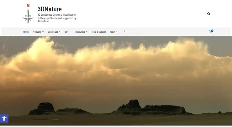
Where it wins
- Imports extensive GIS, terrain, raster, vector and 3D-object data
- Combines ecosystems, foliage, water and terrain modification
- Supports photorealistic rendering, animation and development scenarios
Where it doesn't
- Windows-only software limits platform flexibility
- The $2,475 cost is a significant upfront purchase
- Focused on visualization rather than planting plans or irrigation
Our verdict on Visual Nature Studio
Visual Nature Studio is Windows software for creating, rendering and animating photorealistic 3D landscapes and terrain. It is aimed at landscape architects, land planners, civil engineers, cartographers, foresters, historians, golf-course designers and other natural-resource professionals. Its scope is broader than basic garden planning: users can model and generate terrain, place foliage and ecosystems, add lakes and streams, position roads and buildings, and visualize development or vegetation changes through scenarios.
The product’s strongest fit is data-heavy environmental visualization. It imports GIS, DEM, raster, vector, image and 3D-object data across formats including Arc ASCII DEM, DXF, ESRI Shapefile, JPEG, PNG, TIFF, 3DS, LightWave and Wavefront OBJ. That import breadth supports workflows built around existing geospatial or terrain datasets rather than scenes created entirely from scratch. The published feature set also includes photorealistic still-image rendering, keyframe and camera-path animation, and scene export through the Scene Express add-on. These capabilities make it suitable for communicating large sites, terrain changes, ecosystems and proposed development conditions.
Pricing is straightforward but substantial: the Visual Nature Studio 3 plan costs $2,475 as a one-time purchase and includes Windows software plus a USB hardware key. The product therefore suits professional users who need specialized terrain, GIS and environmental visualization in a dedicated desktop application. It is less suitable for buyers seeking a lower-cost entry point, cross-platform access, or a landscape-design workflow centered on planting plans and irrigation. Choose it when terrain analysis, ecosystem placement, scenario visualization and animated or photorealistic presentation matter more than conventional residential landscape documentation.
Your product? Our editors can test Visual Nature Studio in depth and publish a review, labelled as paid · from $149/mo →
Visual Nature Studio pricing
All 1 Visual Nature Studio plans and prices →
Visual Nature Studio fact sheet
| Free plan | No |
|---|---|
| Paid from | $2,475 one-time |
| Terrain modeling | Yes |
| Plant library | Yes |
| Irrigation design | Not verified |
| Planting plans | Not verified |
| Supported platforms | windows |
| Import formats | Arc ASCII DEM, Arc USGS ASCII DEM, ASCII Array, Bryce, Binary Array, DTED, DXF, GTOPO30, BMP, IFF, PICT, Targa, JPEG, PNG, TIFF, NED BIL, NED Grid-Float, SDTS DEM, SRTM HGT, STM, Terragen, USGS ASCII DEM, VistaPro DEM, WCS/VNS DEM, ECW, UK NTF, Arc ADF, E00, ESRI Shapefile, AutoCAD XYZ, USGS ASCII DLG, 3DS, LightWave LWO/LWO2, Wavefront OBJ |
| Deployment | Desktop |
| Platforms | Windows |
| Support | Phone, Docs |
| Built for | Small business, Mid-market, Enterprise (editorial estimate) |
| Pricing | Paid (source) |
| Website | 3dnature.com |
| Facts checked | 20 Sep 2026 |
Alternatives to Visual Nature Studio
- Vectorworks LandmarkA broad professional toolkit spanning terrain, planting, irrigation, documentation, and estimates.9.4
- PRO Landscape+A broad design-to-proposal toolkit for landscape contractors and related professionals.9.2
- Lands DesignA broad Windows toolkit for terrain, planting, irrigation, and landscape documentation.9.0


See all Visual Nature Studio alternatives →
Used Visual Nature Studio? Be the first to review it
The editor score above is our own research. What this page doesn't have yet is a reader's view — what you used Visual Nature Studio for, what worked and what didn't. No stars are seeded and no review is paid for; an editor reads every one before it appears.
Write a reviewTwo minutes · verified accounts only · read by an editor before it appears
Featured on iTechGuides

Visual Nature Studio is listed in our 3D Landscape Design Software directory. Add the badge to your site — it links back to this page.
<a href="https://www.itechguides.com/products/visual-nature-studio/"><img src="https://www.itechguides.com/best/badge/visual-nature-studio.svg" alt="Featured on iTechGuides" width="230" height="46"></a>
Reviewed by iTechGuides Editors · Editorial team · Updated Oct 2026
Advertiser disclosure: iTechGuides is reader-supported. Vendors can pay for top positions in our rankings and for a place on other products' pages, and we may earn a commission when you click some links. Bought places stand at the number bought; this page and our disclosure say so. Paying vendors may get a fuller, more detailed review from our editors, and that review can change their score. How we rank.
Last updated · How we research and update