
Trimble Inpho
Trimble Inpho: A broad desktop suite for professional aerial, UAV and close-range photogrammetry workflows. Ranked #4 of 34 in Photogrammetry Software by our editors (8.9/10); pricing: Pricing on request; best for established enterprise aerial photogrammetry users.
At a glance
- Editor score8.9 / 10
- PricingPricing on request
- Best forEstablished enterprise aerial photogrammetry users
- DeploymentDesktop
- Founded1978 · Westminster, Colorado, United States
- Facts checked20 Sep 2026
Where it wins
- Covers triangulation, dense clouds, orthophotos, meshes and quality analysis
- Combines image and LiDAR data integration with point-cloud editing
- Supports distributed processing plus UAV and close-range workflows
Where it doesn't
- Desktop deployment may not suit teams seeking other delivery models
- Pricing requires contact with Trimble or its distribution network
- Demo mode has restricted output
Our verdict on Trimble Inpho
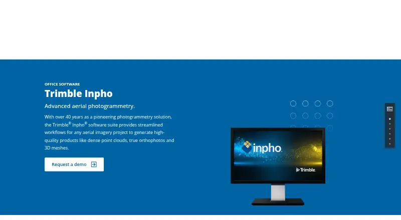
Trimble Inpho is a modular desktop photogrammetry suite for professional aerial imagery projects. It is designed for established enterprise users working on city modeling, rural mapping and topographic mapping, with support for single- or multi-camera aerial imagery. The suite brings together MATCH-AT, MATCH-3DX, MATCH-T, OrthoMaster, OrthoVista, DTMaster Stereo, SCOP++ and UASMaster, covering workflows from aerial triangulation and camera calibration through point-cloud, orthophoto and 3D mesh production.
Its main strength is breadth across a complete production workflow. Inpho supports dense point-cloud generation, true and classical orthophoto generation, 3D mesh generation, interactive and automated quality analysis, point-cloud editing, and image–LiDAR data integration. Distributed processing is included for larger processing workflows, while UAV and close-range photogrammetry support extends the suite beyond traditional aerial mapping. Orthophoto and point-cloud export are supported, giving teams a broad set of deliverables within a desktop environment.
The commercial model is oriented toward direct evaluation and purchasing rather than published self-service plans. Trimble directs buyers to its sales or distribution network, and the available demo mode has restricted output. That approach fits organizations that need a modular professional suite and can evaluate requirements with Trimble before purchasing. Inpho is a strong fit for established aerial photogrammetry operations that value coverage across triangulation, terrain, imagery, LiDAR and quality workflows. Teams seeking a simpler focused tool, a different deployment model or openly listed pricing should compare alternatives before choosing it.
Your product? Our editors can test Trimble Inpho in depth and publish a review, labelled as paid · from $149/mo →
Trimble Inpho pricing
Trimble Inpho fact sheet
| Free plan | Not verified |
|---|---|
| Paid from | Not verified |
| Deployment | Desktop |
| Orthophoto export | Yes |
| Point cloud export | Yes |
| Ground control points | Not verified |
| GIS data export | Not verified |
| API access | Not verified |
| Free image limit | Not verified |
| Deployment | Desktop |
| Support | Docs |
| Built for | Mid-market, Enterprise (editorial estimate) |
| Pricing | Pricing on request |
| Website | geospatial.trimble.com |
| Facts checked | 20 Sep 2026 |
Alternatives to Trimble Inpho
- Agisoft MetashapeA capable desktop suite for geospatial modeling, mapping, and measurement workflows.9.4
- iTwin Capture ModelerA capable Windows workflow for preparing and processing infrastructure reality data locally or in the cloud.9.2
- DJI TerraA broad Windows photogrammetry suite for DJI drone and LiDAR workflows.9.0



See all Trimble Inpho alternatives →
Trimble Inpho vs the competition
- Trimble Inpho vs Agisoft Metashape
- Trimble Inpho vs iTwin Capture Modeler
- Trimble Inpho vs DJI Terra
- Trimble Inpho vs ContextCapture
- Trimble Inpho vs OpenDroneMap
- Trimble Inpho vs WebODM



Compare Trimble Inpho with any tool side by side →
Also Ranked In
Trimble Inpho is ranked in 5 of our directories.
Used Trimble Inpho? Be the first to review it
The editor score above is our own research. What this page doesn't have yet is a reader's view — what you used Trimble Inpho for, what worked and what didn't. No stars are seeded and no review is paid for; an editor reads every one before it appears.
Write a reviewTwo minutes · verified accounts only · read by an editor before it appears
Featured on iTechGuides

Trimble Inpho is listed in our Photogrammetry Software directory. Add the badge to your site — it links back to this page.
<a href="https://www.itechguides.com/products/trimble-inpho/"><img src="https://www.itechguides.com/best/badge/trimble-inpho.svg" alt="Featured on iTechGuides" width="230" height="46"></a>
Reviewed by iTechGuides Editors · Editorial team · Updated Oct 2026
Advertiser disclosure: iTechGuides is reader-supported. Vendors can pay for top positions in our rankings and for a place on other products' pages, and we may earn a commission when you click some links. Bought places stand at the number bought; this page and our disclosure say so. Paying vendors may get a fuller, more detailed review from our editors, and that review can change their score. How we rank.
Last updated · How we research and update